
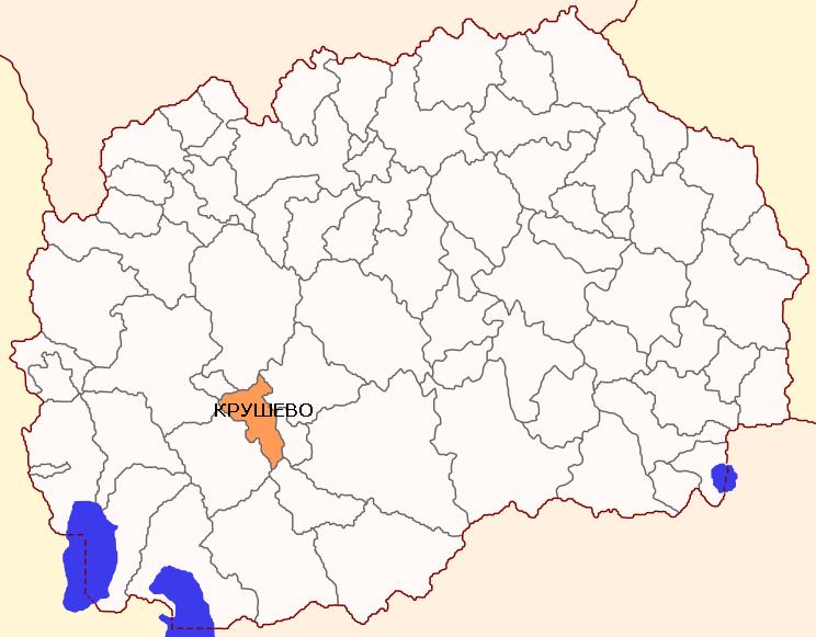
Municipality of Krusevo
Municipality of Krusevo is located in the southwestern part of Macedonia. Within the municipality, the town has a central location and is the administrative, economic and cultural center of the municipality. It is located at an altitude of 1.250 meters, which is a town with the highest altitude in the Balkans. Municipality of Krusevo is located in a predominantly mountainous area at an altitude between 600 and 1.800 meters. Municipality of Krusevo is spread on hills and mountainous part, where the hilly part covers 44% and mountainous part 56% of the total area of 205 km².
Comparative advantages of the Municipality of Krushevo
The territory of municipality of Krusevo, which extends in the mountainous area and the northwest part of the Pelagonia valley, is characterized by moderate continental climate with distinctively impact of the mountainous climate from the west and the valley climate from the east. The municipality is characterized by good infrastructure linking the settlements developed network of services (hospital, post office, public services), existence of good accommodation facilities and a 4 stars hotel. In the municipality in harmony for centuries is a home to several different ethnicities that create diversity of cultures and a rich culture expressed through specific old architecture, specific customs, unique handicrafts and food. The municipality cherishes hospitality and tourist spirit among the residents which is especially expressed in the period of holding of the events: 10 days of Krusevo Republic, Ethno town.
The municipality has a relatively long tradition in winter sports. There is a staff for winter sports, lighted ski trails, Nordic trail holds competitions according to international rules, equipment and machines for creating artificial snow, trails for snowboarding.
Municipality of Krusevo – Main data
|
MUNICIPALITY OF KRUSHEVO st. Nikola Gjurkovik no. 16a, +389 048 477 061 [email protected]
|
 |
| Coordinates | * Latitude – 41о37’ N
* Longitude – 21о25’ E |
| Area | * 205 km2 |
| Areal codes | * International code: ++389(R. Macedonia)
* National code: 048 * Postal code: 7550 |
| Population | * 9.684 inhabitants (Census 2002)
* 9.545 inhabitants ( Estimated by the State Statistical Office, till 31.12.2014) |
| Gender structure | * Female – 49,2%
* Male – 50,8% |
| Number of unemployed people (ESA, August 2016 ) | * 1.049 |
| Elementary schools | * OOU “Nikola Karev“
* OU “Sv. Kiril and Metodij“ – v. Buchin |
| Secondary schools | * SOU “Naum Naumovski – Borche“ |
| Banks (branches) | * Stopanska banka AD Skopje
* UNI banka AD Skopje |
| Insurance companies | * Wienie Insurance Group
* Croatia osiguruvanje AD * AD Osiguritelna polisa * Triglav osiguruvanje AD Skopje |
| Number of active legal entities | * 233 (State Statistical Office, till 31.12.2015) |
| Priority sectors /industries in the Municipality | * Tourism
* Catering * Textile Industry * Wood industry * Agriculture |
| Available resources in the Municipality | * Agriculture: production of industrial and agricultural products to 871 ha (tobacco, onions, peppers)
* Tourism: · 220 beds – hoteslki facilities · 560 categorized beds – private accommodation · 150 beds – monasteries · 670 – seats in restaurants * Infrastructure: 45 km regional and local roads, water supply in all settlements * Natural resources: · Quartz – with a purity of 97% – 98% in the region of the villages Sazhdevo, Jakrenovo and Selce. · Bauxite – with a purity of 28% in the region of the villages Pusta Reka, Gorno Divjaci, Dolno Divjaci and Arilevo. · Tungsten in amounts sufficient for exploitation in the region of the villages Pusta Reka, Gorno Divjaci, Dolno Divjaci and Arilevo. |
| Contact information for potential investors | * Gjorgi Damcheski
Mayor of the Municipality of Krushevo Tel.: 048-477-061, 071-242-123 E-mail: [email protected] * Kosta Mickoski Manager of LED Tel.: 048-477-061, 075-396-926 E-mail: [email protected] |
Municipality of Krusevo – Traffic connections
|
TRAFFIC CONNECTIONS
|
|
| Regional roads | · Prilep – Krivogashtani – Sladuevo
· Prilep – Krivogashtani – Pusta Reka |
| Distance from airports: | · Alexander the Great (Skopje) – 155 km
· St. Paul the Apostol (Ohrid) – 125 km · Airport Macedonia (Thessaloniki, Greece) – 220 km |
| Distance from harbors: | · Harbor in Burgas, Bulgaria- 762 km
· Harbor in Thessaloniki, Greece – 220 km · Harbor in Durres, Albania – 291 km · Harbor in Bar, Montenegro – 474 km |
| Distance from railroads | · Railway station Skopje – 167 km
· Railway station Sofia – 363 km · Railway station Thessaloniki – 220 km |
| Distance from capital cities: | · Skopje – 167 km
· Sofia – 363 km · Belgrade – 505 km · Podgorica – 424 km · Pristina – 239 km · Athens- 615 km · Tirana – 249 km |
| Distance from border crossings | · Bulgaria – 229 km
· Serbia – 164 km · Greece – 72 km · Kosovo – 182 km · Albania – 110 km |
Municipality of Krusevo – Investing opportunities
Municipality of Krusevo for the potential investors have made available the industrial zone “Opalenik”. Industrial zone “Opalenik” is located in the locality called Opalenik, KO Aldanci. The industrial zone is located on the road Prilep – Krusevo 8 km before the entrance to the town. The zone, with a total area of 12,6 hectares is fully owned by the state and has 8 free plots designed for light and non-polluting industry.
| Industrial zone “Opalenik” | |
| Total area | 12,6 ha |
| Distance from the center of the municipality | 8 km |
| Ownership | 100 % state owned |
| Infrastructure | Partial infrastructure |
| Usage of the free locations for construction | G2 – light and non-polluting industry |
| Initial price for the land | 61,00 den./m2 |